OSPAR Science Agenda Knowledge Gap Portal
Welcome to the OSPAR Science Agenda knowledge gap portal. The page showcases important scientific questions and evidence needs identified by OSPAR to help protect and sustainably manage the North-East Atlantic. Use the filters and search options below to explore knowledge gaps by topic, category, region, and status, or browse visually to discover areas where new research, data, or collaborations are needed. The aim is to make it easy for anyone - scientists, funders, and policy makers to understand the current priorities, access key details, and get involved in helping to close these important gaps for a healthier ocean future.
Showing 201 - 225 of 539 items
Biological data from areas where fishing pressure has been removed
ID Number: BB09.12
Knowledge gap description: Pressure data: Biological data from areas where fishing pressure has been removed (e.g., no-take zones) would help improve understanding of receptor recovery and will be explored in future work. Improved vessel monitoring (VMS) data for missing fleets and vessels < 12 m would be beneficial.
Knowledge Gap Category:
4. data coverage
Assessment Category:
Common indicator assessment
Relevant for MSFD Art 8:
D6C3, D6C5
Implementation Status
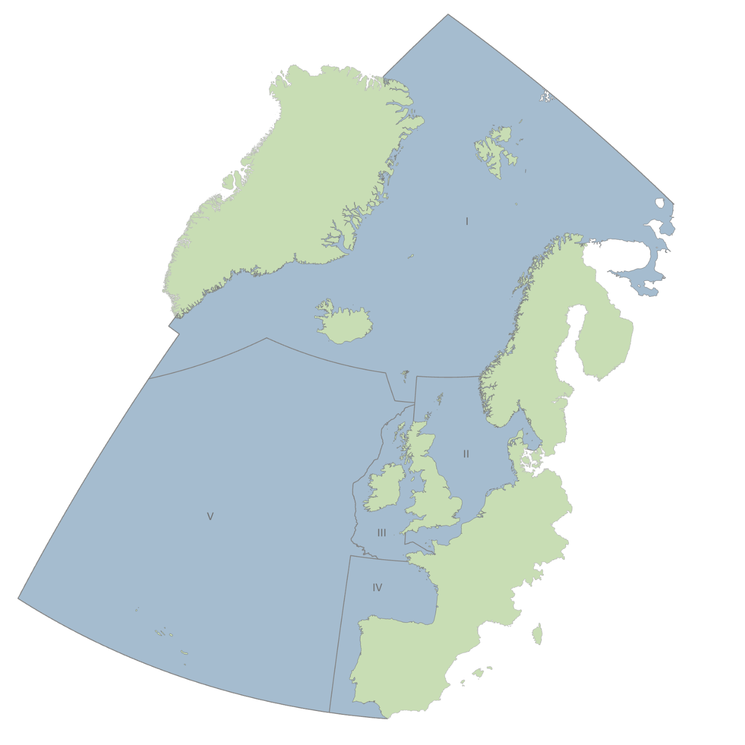
OSPAR Region: All Regions
Source of knowledge gap: QSR2023 - Extent of Physical Disturbance to Benthic Habitats: Fisheries with mobile bottom-contacting gears
Availability of Vessel Monitoring information
ID Number: BB09.13
Knowledge gap description: Pressure data: Since there is little Vessel Monitoring (VMS) information, the spatial extent of pressures associated with bottom-contact fishing activity could have been underestimated in some areas.
Knowledge Gap Category:
4. data coverage
Assessment Category:
Common indicator assessment
Relevant for MSFD Art 8:
D6C3, D6C5
Implementation Status
OSPAR Region: All Regions
Source of knowledge gap: QSR2023 - Extent of Physical Disturbance to Benthic Habitats: Fisheries with mobile bottom-contacting gears
Inclusion of Inshore Vessel Monitoring Systems data
ID Number: BB09.14
Knowledge gap description: Pressure data: Inclusion of Inshore Vessel Monitoring Systems (I-VMS) data in assessments would increase the confidence of assessments in inshore waters, where smaller vessels are most likely to operate.
Knowledge Gap Category:
4. data coverage
Assessment Category:
Common indicator assessment
Relevant for MSFD Art 8:
D6C3, D6C5
Implementation Status
OSPAR Region: All Regions
Source of knowledge gap: QSR2023 - Extent of Physical Disturbance to Benthic Habitats: Fisheries with mobile bottom-contacting gears
Adequate Vessel Monitoring (VMS) data
ID Number: BB09.15
Knowledge gap description: Pressure data: There was missing or inadequate Vessel Monitoring (VMS) data from Portugal, Norway, and Iceland. Therefore, bottom-contact fishing pressure may have appeared to be absent and/or underrepresented despite the occurrence of fleet activities.
Knowledge Gap Category:
4. data coverage
Assessment Category:
Common indicator assessment
Relevant for MSFD Art 8:
D6C3, D6C5
Implementation Status
OSPAR Region: All Regions
Source of knowledge gap: QSR2023 - Extent of Physical Disturbance to Benthic Habitats: Fisheries with mobile bottom-contacting gears
Improvement of Vessel Monitoring (VMS) data quality assurance protocols
ID Number: BB09.16
Knowledge gap description: Pressure data: The improvement of Vessel Monitoring (VMS) data quality assurance protocols by OSPAR Contracting Parties prior to submission of data to ICES will improve the coverage of pressure data in future assessments.
Knowledge Gap Category:
4. data coverage
Assessment Category:
Common indicator assessment
Relevant for MSFD Art 8:
D6C3, D6C5
Implementation Status
OSPAR Region: All Regions
Source of knowledge gap: QSR2023 - Extent of Physical Disturbance to Benthic Habitats: Fisheries with mobile bottom-contacting gears
Coverage of Vessel Monitoring (VMS) data
ID Number: BB09.17
Knowledge gap description: Pressure data: Vessel Monitoring (VMS) data obtained from ICES via the OSPAR data call did not cover the entirety of Kattegat. The new OSPAR benthic habitat assessment units extended beyond the original spatial extent of the official OSPAR Region boundaries used in the data call, which resulted in the potential absence of VMS data. In future assessments, modifications to assessment units that potentially extend beyond the areas agreed in the data call could results in similar knowledge gaps and should be accounted for, where feasible.
Knowledge Gap Category:
4. data coverage
Assessment Category:
Common indicator assessment
Relevant for MSFD Art 8:
D6C3, D6C5
Implementation Status
OSPAR Region: All Regions
Source of knowledge gap: QSR2023 - Extent of Physical Disturbance to Benthic Habitats: Fisheries with mobile bottom-contacting gears
Availability of fishing intensity data
ID Number: BB09.18
Knowledge gap description: Pressure data: Due to limitations associated with the availability of fishing intensity data, the current method may have been overestimated in areas where vessel speeds were likely to be reduced during transit near ports or in adverse weather conditions and were inaccurately attributed to speeds associated with trawling activity.
Knowledge Gap Category:
4. data coverage
Assessment Category:
Common indicator assessment
Relevant for MSFD Art 8:
D6C3, D6C5
Implementation Status
OSPAR Region: All Regions
Source of knowledge gap: QSR2023 - Extent of Physical Disturbance to Benthic Habitats: Fisheries with mobile bottom-contacting gears
Distribution and intensity of pressure within individual c-squares.
ID Number: BB09.19
Knowledge gap description: Pressure data: Knowledge gaps were identified regarding the distribution and intensity of pressure within individual c-squares (spatial grids).
Knowledge Gap Category:
4. data coverage
Assessment Category:
Common indicator assessment
Relevant for MSFD Art 8:
D6C3, D6C5
Implementation Status
OSPAR Region: All Regions
Source of knowledge gap: QSR2023 - Extent of Physical Disturbance to Benthic Habitats: Fisheries with mobile bottom-contacting gears
Response of benthic habitats to consistent or variable abrasion pressure
ID Number: BB09.20
Knowledge gap description: The BH3 assessment of the risk of disturbance from physical abrasion pressures associated with bottom-contact fisheries categorised and assessed surface and subsurface Swept Area Ratios separately. Future work investigating the response of benthic habitats to consistent or variable abrasion pressure would help inform how pressure impacts could be best represented across an assessment period.
Knowledge Gap Category:
1. indicator development
Assessment Category:
Common indicator assessment
Relevant for MSFD Art 8:
D6C3, D6C5
Implementation Status
OSPAR Region: All Regions
Source of knowledge gap: QSR2023 - Extent of Physical Disturbance to Benthic Habitats: Fisheries with mobile bottom-contacting gears
Biological responses to adverse effects caused by pressures associated with physical disturbance
ID Number: BB09.21
Knowledge gap description: Disturbance results: Knowledge gaps remain in understanding of biological responses to adverse effects caused by pressures associated with physical disturbance. Calibration with the results of other benthic indicators (e.g., BH1; Condition of Benthic Habitat Communities, BH2b) will be explored in future work. When improved datasets become available, data-based assessments of the effects physical pressures have on benthic faunal and floral receptors will be explored to mitigate limitations that can affect the certainty and accuracy of indicator outputs.
Topics:
Knowledge Gap Category:
1. indicator development
Assessment Category:
Common indicator assessment
Relevant for MSFD Art 8:
D6C3, D6C5
Implementation Status
OSPAR Region: All Regions
Source of knowledge gap: QSR2023 - Extent of Physical Disturbance to Benthic Habitats: Fisheries with mobile bottom-contacting gears
Integration of Data on habitat distribution and sensitivity
ID Number: BB09.22
Knowledge gap description: Geographical application: Data on habitat distribution and sensitivity is expected to be included at a later stage, to allow the analysis to address the wider spatial scale and assess variations in disturbance across OSPAR Regions more accurately.
Knowledge Gap Category:
3. assessment areas
Assessment Category:
Common indicator assessment
Relevant for MSFD Art 8:
D6C3, D6C5
Implementation Status
OSPAR Region: All Regions
Source of knowledge gap: QSR2023 - Extent of Physical Disturbance to Benthic Habitats: Fisheries with mobile bottom-contacting gears
High accuracy data
ID Number: BB21.01
Knowledge gap description: The confidence and coherence in BH1 assessment results will be improved by access to more data with high accuracy.
Topics:
Knowledge Gap Category:
4. data coverage
Assessment Category:
Common indicator assessment
Relevant for MSFD Art 8:
D6C3
Implementation Status
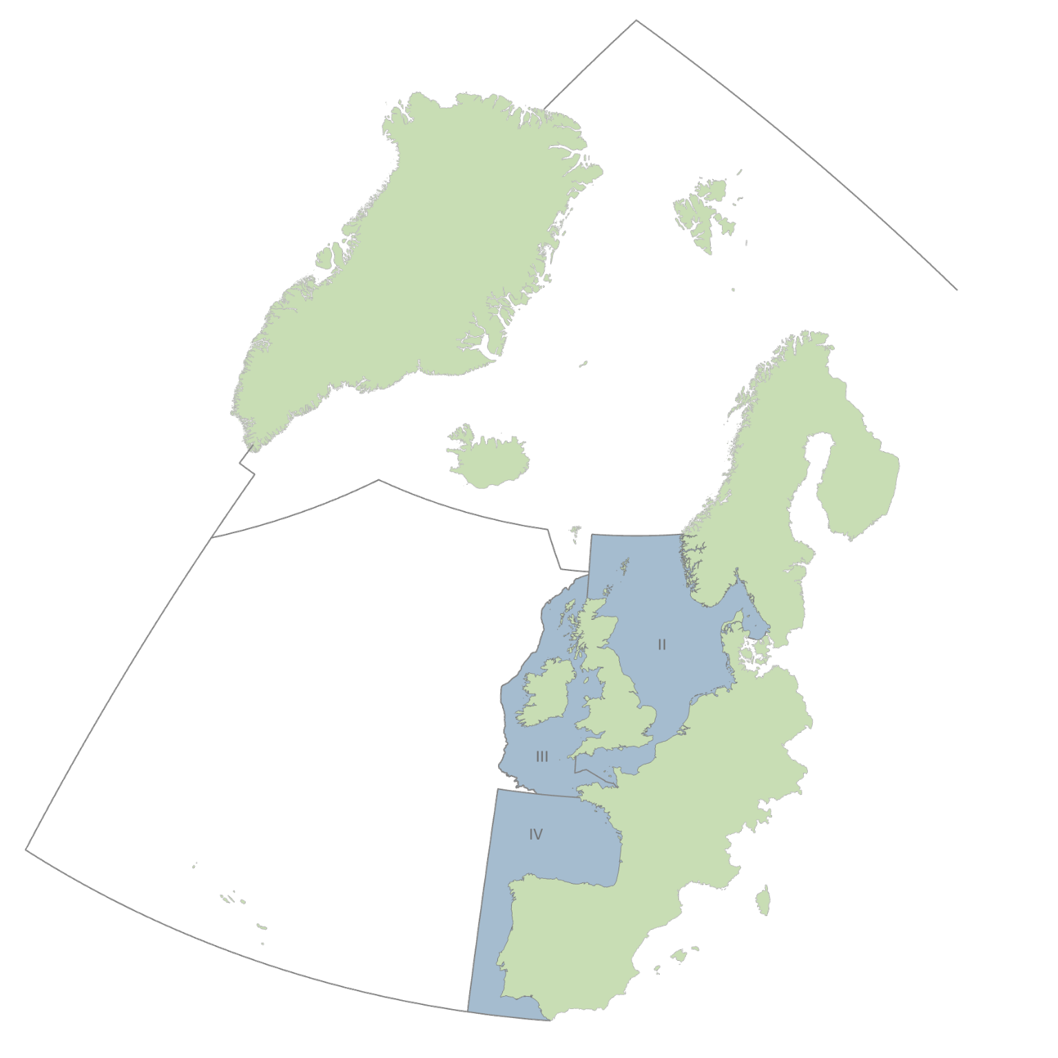
OSPAR Region: Greater North Sea, Celtic Seas, Bay of Biscay and Iberian Coast
Source of knowledge gap: QSR2023 - Sentinels of the Seabed
Habitat map showing the distribution and extent of the Benthic Broad Habitats Types
ID Number: BB21.02a
Knowledge gap description: Distribution of benthic habitats: The BH1 assessment requires a high-quality habitat map showing the distribution and extent of the Benthic Broad Habitats Types (BBHTs) for the assessment area.
Topics:
Knowledge Gap Category:
3. assessment areas
Assessment Category:
Common indicator assessment
Relevant for MSFD Art 8:
D6C3
Implementation Status
OSPAR Region: Greater North Sea, Celtic Seas, Bay of Biscay and Iberian Coast
Source of knowledge gap: QSR2023 - Sentinels of the Seabed
Distribution and intensity of pressure layers within the OSPAR Maritime Area
ID Number: BB21.02b
Knowledge gap description: Distribution of benthic habitats: Knowledge gaps were identified regarding the distribution and intensity of pressure layers within the OSPAR Maritime Area. There were limited, erroneous or unusable data.
Topics:
Knowledge Gap Category:
4. data coverage
Assessment Category:
Common indicator assessment
Relevant for MSFD Art 8:
D6C3
Implementation Status
OSPAR Region: Greater North Sea, Celtic Seas, Bay of Biscay and Iberian Coast
Source of knowledge gap: QSR2023 - Sentinels of the Seabed
Spatial resolution of the Vessel Monitoring (VMS) data
ID Number: BB21.03a
Knowledge gap description: Pressures: Increasing the spatial resolution of the Vessel Monitoring (VMS) data would improve the confidence in BH1 assessment results, especially in areas geomorphologically complex such as the Iberian Peninsula.
Knowledge Gap Category:
4. data coverage
Assessment Category:
Common indicator assessment
Relevant for MSFD Art 8:
D6C3
Implementation Status
OSPAR Region: Greater North Sea, Celtic Seas, Bay of Biscay and Iberian Coast
Source of knowledge gap: QSR2023 - Sentinels of the Seabed
Accuracy of estimates of trawling effort
ID Number: BB21.03b
Knowledge gap description: Pressures: Trawling effort may have been overestimated in some areas where vessel speeds were reduced during manoeuvres not linked to commercial bottom fishing (such as entering/exiting ports or during adverse weather conditions), but were erroneously are attributed to trawling.
Knowledge Gap Category:
4. data coverage
Assessment Category:
Common indicator assessment
Relevant for MSFD Art 8:
D6C3
Implementation Status
OSPAR Region: Greater North Sea, Celtic Seas, Bay of Biscay and Iberian Coast
Source of knowledge gap: QSR2023 - Sentinels of the Seabed
Inclusion of Inshore Vessel Monitoring Systems data.
ID Number: BB21.03c
Knowledge gap description: Pressures: Inclusion of Inshore Vessel Monitoring Systems (I-VMS) data in assessments would increase the confidence of assessments in inshore waters, where smaller vessels are most likely to operate.
Knowledge Gap Category:
4. data coverage
Assessment Category:
Common indicator assessment
Relevant for MSFD Art 8:
D6C3
Implementation Status
OSPAR Region: Greater North Sea, Celtic Seas, Bay of Biscay and Iberian Coast
Source of knowledge gap: QSR2023 - Sentinels of the Seabed
Information on Benthic species abundance
ID Number: BB21.04a
Knowledge gap description: Biological samples: Benthic species abundance information was not available for some units, limiting assessment of the total area using BH1 as an empirical indicator. So, in the units without species monitoring data, the BH1 is applied by extrapolating the information from the pressure-state curves of the North Iberian Atlantic unit to these units, which reduces the confidence of the assessment in these units.
Topics:
Knowledge Gap Category:
4. data coverage
Assessment Category:
Common indicator assessment
Relevant for MSFD Art 8:
D6C3
Implementation Status
OSPAR Region: Greater North Sea, Celtic Seas, Bay of Biscay and Iberian Coast
Source of knowledge gap: QSR2023 - Sentinels of the Seabed
Sentinels of seabed: monitoring of benthic species in the Gulf of Biscay and South Iberian Atlantic
ID Number: BB21.04b
Knowledge gap description: Biological samples: Increasing monitoring of benthic species (for biomass and abundance) in the common Indicator Assessment units, specifically in the Gulf of Biscay and South Iberian Atlantic, would improve the confidence and accuracy of BH1. The creation of standardised Benthic Monitoring Programmes would help increase data coverage.
Topics:
Knowledge Gap Category:
4. data coverage
Assessment Category:
Common indicator assessment
Relevant for MSFD Art 8:
D6C3
Implementation Status
OSPAR Region: Greater North Sea, Celtic Seas, Bay of Biscay and Iberian Coast
Source of knowledge gap: QSR2023 - Sentinels of the Seabed
Common criteria for defining quality thresholds values
ID Number: BB21.05a
Knowledge gap description: Thresholds/Indicators: OSPAR has to agree on common criteria for defining quality thresholds for all the indicators that assess the impact on the Benthic Broad Habitat Types (BBHT)s.
Topics:
Knowledge Gap Category:
2. thresholds & references
Assessment Category:
Common indicator assessment
Relevant for MSFD Art 8:
D6C3
Implementation Status
OSPAR Region: Greater North Sea, Celtic Seas, Bay of Biscay and Iberian Coast
Source of knowledge gap: QSR2023 - Sentinels of the Seabed
Sentinels of seabed: assessment of environmental variables and other pressures
ID Number: BB21.05b
Knowledge gap description: Thresholds/Indicators: The BH1 indicator needs to explore the incorporation of (a) environmental variables and (b) other pressures into its analyses to achieve a quantitative and integrated assessment with low uncertainties for the next assessment cycle.
Topics:
Knowledge Gap Category:
1. indicator development
Assessment Category:
Common indicator assessment
Relevant for MSFD Art 8:
D6C3
Implementation Status
OSPAR Region: Greater North Sea, Celtic Seas, Bay of Biscay and Iberian Coast
Source of knowledge gap: QSR2023 - Sentinels of the Seabed
Sentinels of seabed: residual environmental variability and abundance of sentinel species.
ID Number: BB21.05c
Knowledge gap description: Environmental variables can affect the proportional abundance of sentinel species. The variability of main environmental variables (sediment and depth) is limited within most of the MSFD broad habitats, but it will be useful if BH1 assessment method explore to account for residual environmental variability by including more factors in the analysis. This may increase the model's accuracy, improving the prediction models.
Topics:
Knowledge Gap Category:
5. cumulative effects & integration
Assessment Category:
Common indicator assessment
Relevant for MSFD Art 8:
D6C3
Implementation Status
OSPAR Region: Greater North Sea, Celtic Seas, Bay of Biscay and Iberian Coast
Source of knowledge gap: QSR2023 - Sentinels of the Seabed
Sentinels of seabed: assessment of cumulative impacts
ID Number: BB21.06
Knowledge gap description: Other pressures: In areas affected for more than one pressure, BH1 assessment efforts should be directed to see how to deal with this situation (cumulative impacts).
Topics:
Knowledge Gap Category:
5. cumulative effects & integration
Assessment Category:
Common indicator assessment
Relevant for MSFD Art 8:
D6C3
Implementation Status
OSPAR Region: Greater North Sea, Celtic Seas, Bay of Biscay and Iberian Coast
Source of knowledge gap: QSR2023 - Sentinels of the Seabed
Interactions between science and policy
ID Number: TBC
Knowledge gap description: More working and scientific policy interactions are still needed, at both regional-sea and European levels. The coordination and additional resources shared through common projects are key to enabling this work to proceed under commonly agreed and defined timelines and priorities.
Topics:
Knowledge Gap Category:
5. cumulative effects & integration
Assessment Category:
Thematic assessment
Relevant for MSFD Art 8:
N/A
Implementation Status
OSPAR Region: All Regions
Source of knowledge gap: QSR2023 - Benthic Habitats Thematic Assessment
Improvement of monitoring and progress on the scientific policy process for integrated assessment
ID Number: TBC
Knowledge gap description: Greatly improved monitoring and progress on the scientific policy process itself are needed to enable sufficient technical, methodological and management progress towards a more integrated assessment, as well as provide information and evidence to support evaluation of the efficiency of management measures.
Topics:
Knowledge Gap Category:
5. cumulative effects & integration
Assessment Category:
Thematic assessment
Relevant for MSFD Art 8:
N/A
Implementation Status
OSPAR Region: All Regions
Source of knowledge gap: QSR2023 - Benthic Habitats Thematic Assessment